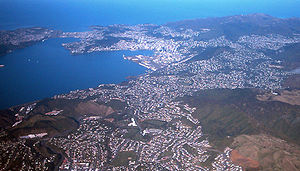
| English: Picture of Wellington from a plane. Looking south. The suburbs of Johnsonville and Raroa are in the immediate foreground, with the Ngauranga Gorge invisible to the left of the quarry at lower left. Rongotai Airport is visible upper left, with the Miramar Peninsula to the left of that. The suburb that reaches the edge of the picture upper right is Karori. (Photo credit: Wikipedia) |
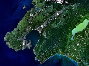
| Satellite photo of the Wellington conurbation: (1) Wellington; (2) Lower Hutt; (3) Upper Hutt; (4) Porirua. (Photo credit: Wikipedia) |
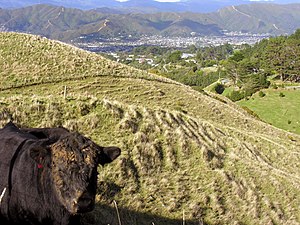
| Looking into the Hutt Valley in New Zealand. (Photo credit: Wikipedia) http://wellington.scoop.co.nz/?p=54744 |
John key said any amalgamation in the Wellington region will have to be led by Wellington City. What does that mean Mr key? The National government will force amalgamation? The Hutt Valley doesn't want to be part of any Wellington Super City, or any other amalgamation to do with Wellington City. What National forces together, Labour/Greens can force apart!
One Hutt Valley !!!
One Hutt Valley !!!


No comments:
Post a Comment